
Menu
Director's Message
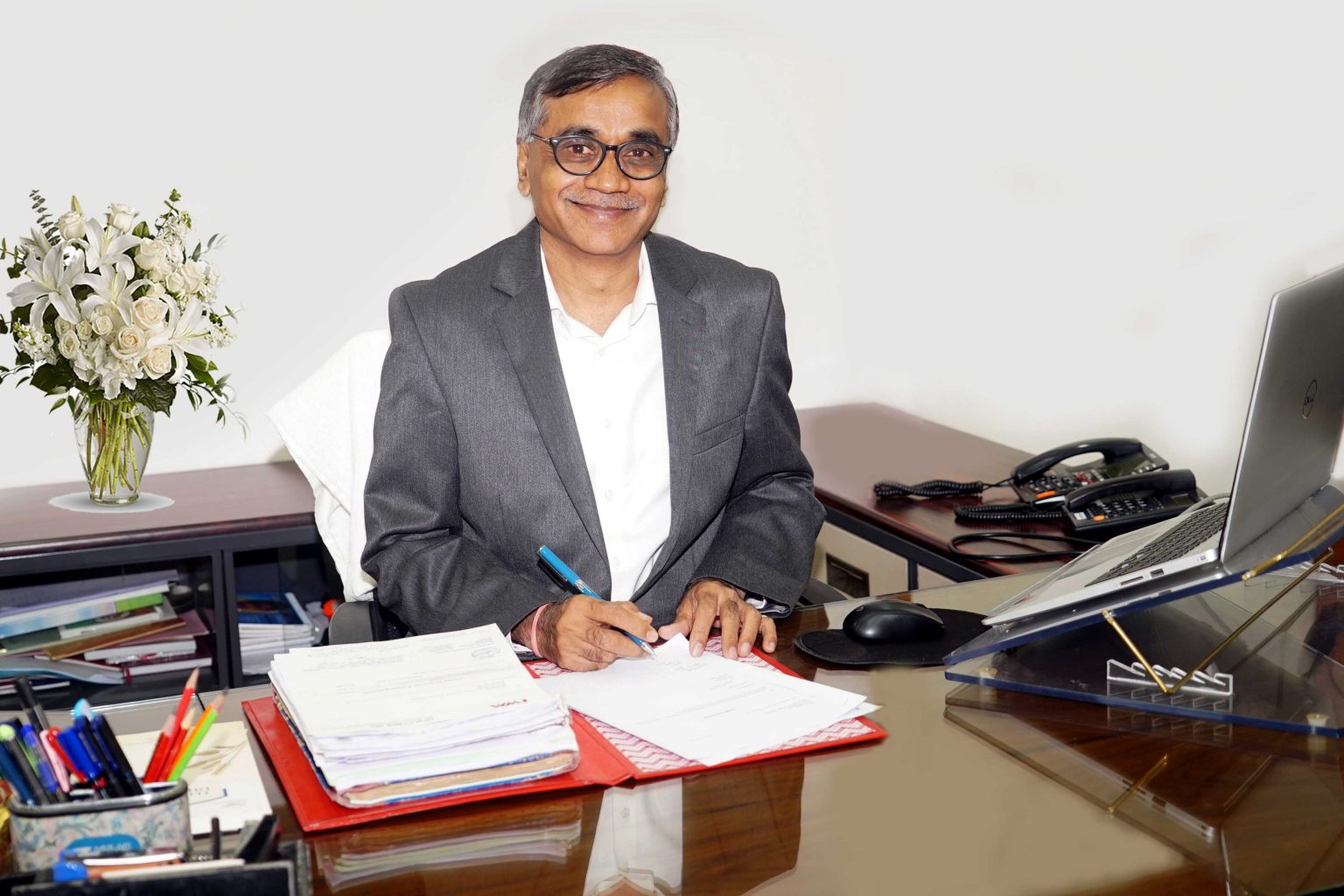
Dr. N. G. Patil
Director , ICAR-NBSS&LUP , Nagpur
Biodata
PMS
Phone No : +91-712-2500386 (O), +91-712-2500664 (O).
Email: director.nbsslup@icar.gov.in , nitin.patil@icar.gov.in
Director , ICAR-NBSS&LUP , Nagpur
Biodata
PMS
Phone No : +91-712-2500386 (O), +91-712-2500664 (O).
Email: director.nbsslup@icar.gov.in , nitin.patil@icar.gov.in
Land scarcity is a formidable challenge in fast-changing India as competing demands
from various sectors are exerting increasing pressure mostly on cultivated lands. Ensuring
food security for the second most populous country in the world with declining soil and water
resources requires scientific and optimum utilization of these finite resources. It is thus
essential to assess the bio-physical resources, socio-economic factors, institutional and legal
framework and empower the people to make decisions about how to allocate these resources.
Needless to state that there is an urgent need to prepare a high-resolution land resource
inventory of the country through systematic soil surveys, and collect collateral data for land
use planning using the latest geo-spatial techniques, remote sensing technologies, and
computational capabilities/artificial intelligence.
Demand for soil information/data is increasing as development agencies demand
quick data supply for timely and informed decisions on site-specific crop planning, nutrient
management, soil and water conservation, forest management, groundwater management, and
many other development efforts. Since the generation of such large-scale information is time-
consuming and resource intensive, the ICAR-NBSS&LUP has developed a hybrid
methodology that relies on modern tools to hasten the pace of soil survey data acquisition
while preserving the essence of traditional soil surveys. The operating protocol involves a
sequence of steps starting from the acquisition and processing of satellite data, preparing a
sampling plan that minimizes the number of profiles to be studied/samples to be collected
while capturing maximum soil variability, systematic soil survey, laboratory analysis and
modeling for depth-wise soil characterization, to generation of agricultural land use and soil
& water conservation plans.
Land resource inventory of the country is shortly expected to serve as a backbone of
policy decisions in different domains like real-time soil moisture estimation and monitoring,
providing spatial information for contingency planning in rainfed agriculture, crop
management, developing climate resilient technologies, groundwater governance and
management, etc. During the next 5 years, 25-30 districts of India will be enriched with
different soil data products for managing natural resources. ICAR-NBSS&LUP is also
committed to supporting federal agencies in their varied tasks like developing crop colonies,
watershed management, promoting specific crops, carbon sequestration, etc. Being the only
research and development entity in the country, ICAR-NBSS&LUP will also continue to
strive for the development of human resources across the country in the field of soil survey
and land use planning.